Understand Safari Tier Ratings & Experiences In Zambia | Why Visit Zambia For Your Safari Vacation Or Holidays In Africa
ZAMBIA LOCATION & GEOGRAPHY
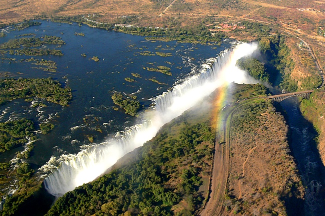
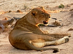
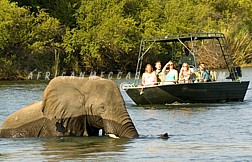
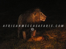
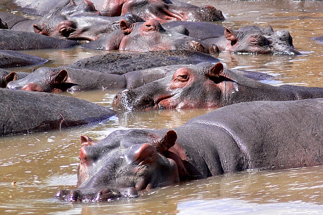
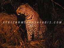
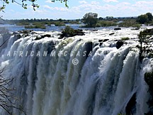
Zambia extracts its name from the Zambezi River, whose superb strength can be seen at the Victoria Falls in Livingstone. Zambia is located in southern part of Africa, landlocked between Tanzania in the north east, Mozambique in the east/south east, Zimbabwe in the south, Botswana in the south west, Angola in the west and the Democratic Republic of Congo in the north. Zambia has a latitude of 10o and 18o South & longitudes 22o and 33o East. This moth shaped country (almost) has a size of 290,566 sq miles (752610 sq km), making it one of Africa’s bigger countries. The physical setting of the country varies between the valleys and high rising plateaus of the country. The valleys would include the famous Luangwa valley, superbly experienced in the South Luangwa National Park, with abundant species of wildlife on the floor. The plateau would include the Nyika Plateau in the north east rising to 2,200 meters above sea level.
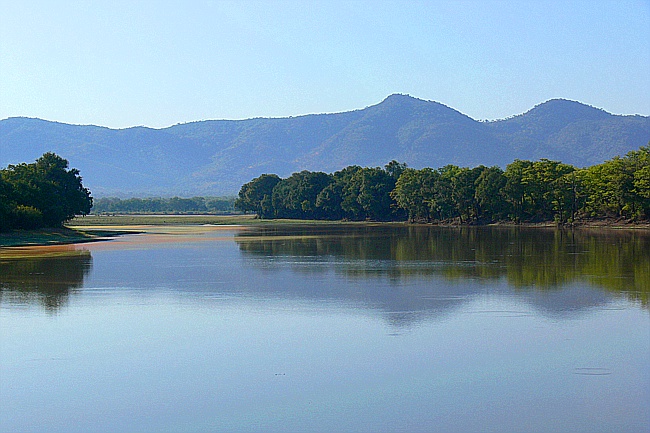
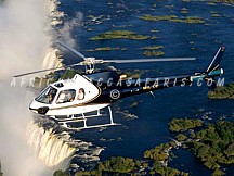
At the core of Zambia’s topography is the abundant flowing water, a rare commodity in other parts of Africa and sometimes a real challenge for Zambians. The two main drainage basins are the Zambezi basin which drains the Kafue, Luangwa and Zambezi (among others) and the Congo basin in the north. The Zambezi falls about 100 meters (328 ft) over the 1.6 km (1 mile) wide Victoria Falls into Lake Kariba, the largest man made lake in Africa and the second largest in the world. It is about 280 km long and 40 km across at its widest point. Over most of the country the surface tends to be flat separated by small hills, the result of countless ages of undisturbed erosion of the underlying crystalline rocks. These rocks contain the bulk of the country’s wealth in the form of minerals and the 90 mile long corridor known as the Copper belt, along the north-western part of the country.
CONTACT AN EXPERT TO PLAN YOUR ZAMBIA & VICTORIA FALLS TOUR